June 2, 2025
National shade map from UCLA and American Forests launched to combat deadly urban heat
New tool pinpoints where shade is lacking across 360-plus cities and towns

June 2, 2025
New tool pinpoints where shade is lacking across 360-plus cities and towns

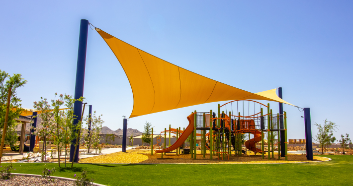
A new national Shade Map from the UCLA Luskin Center for Innovation and American Forests maps the shade infrastructure for more than 360 U.S. cities and towns. The tool aims to help federal, state, and local decision-makers identify existing “shade deserts” and prioritize investments to mitigate the impacts of heat.
Most cities aren’t armed with the data they need to know if there is shade where communities need it most. That’s where the Shade Map comes in. Never before has it been this easy for communities in the U.S. to know how much shade they have, where it is, and whether the source is buildings or vegetation.
Get our latest research in your inbox.
 ShadeLA offers a playbook to help city meet shade goals
New policy briefs outline how to streamline processes to increase shade in LA
 At the Luskin Summit, environmental justice took center stage
From plastic pollution to extreme heat, Luskin Center for Innovation panelists examined community-driven solutions

 Turning data into dialogue: Luskin Center for Innovation-inspired art exhibit...